I am slow, but I get there eventually. After leaving my first career, I started my PhD work in 1997, which is the same year Jose Antonio Brandao published his book, “Your fyre shall burn no more” Iroquois Policy Toward New France and its Native Allies to 1701. Brandao challenged the interpretation of the Beaver Wars, where Haudenosaunee supposedly engaged in warfare with other nations to dominate the beaver fur trade with New France. In doing so, he utilized the Jesuit Relations by counting the numbers of pelts recorded as captured in Haudenosaunee raids on other nations. Most of the book was made up of appendices showing his evidence. “No!” I exclaimed! “How can one overturn major historical interpretation by using sources in such a way?” I’m slow, but I get there. Yes, you can use sources in wild and crazy ways.
I have recently moved into the world of environmental history, with a particular interest in upstate NY, where I am located, and the Great Lakes. This project is the very slow start of thinking of how to use travel narratives to map environmental change over time.
I looked at four sources in particular, but really succeeded in mapping just one so far. These sources were found in the Early Encounters in North America database, published by Alexander Street. The idea was to first look at the word cloud produced by Voyant to get an understanding of what the author’s were focusing on. Then using Kepler I would chart the location of non-human animals, plants, and soil conditions as observed in the narratives. I am going slow, but I am getting there.
Journals of the Reverend Peter Jacobs 1852
As you can see from the above Voyant word cloud, Jacobs’s focus was not on the natural word so much as the spiritual. He’s there to convert Indians, but the fact that he is also travelling to Hudson Bay Co forts, economics is on his mind. His view of the natural world, like most Europeans had to do with how the natural world could be converted to commodities, which does go hand in hand with converting Indians to Christianity. He’s looking for God and gold, but we can also map out the presence of fish, plants, trees, copper, etc from his work. See below for that.
Flint’s letters from America 1818
Flint was less concerned about souls, and most of his observations were more about the cities he encountered than the natural world. This was more of an experience of spending much time reading with less to show in the end.
Observations on the inhabitants, climate, soil, rivers, productions, animals, and other matters worthy of notice, made by Mr. John Bartram, in his travels from Pensilvania to Onondago, Oswego, and the lake Ontario, in Canada, to which is annex’d, a curious account of the cataracts at Niagara, by Mr. Peter Kalm, a Swedish gentleman who travelled there. 1751
John Bartram was a naturalist who travelled extensively through the American colonies. As you can see from the word cloud, while he makes observation on many aspects of the region of what are now PA and NY, it’s water that steals the show. Rivers, lakes, creeks, are at the center of his travels and records.
Jesuit Relations and Allied Documents, vol 43, Chapter IV: Journey of the Fathers of our Society, and some Frenchmen, to the Country of the Upper Iroquois called Onnontoeronnons. 1653
Like Jacobs, the Jesuits were looking for souls, oh, and some gold too. I work at a Jesuit college. The Jesuits continue to celebrate their 17th century work among the Onondaga Nation of the Haudenosaunee. The Onondagas do not share that point of view. They see the Jesuits arrival more as a search for commodities and the first steps to eradication of the Onondaga people. So that is a different issue, but one that is always on my mind. I am not dealing with that question here, but I throw it out if anyone has ideas on how to approach it. Remember, I’m slow, but I get there.
Okay, so what about the mapping! The word clouds show us a different story from the one I am trying to uncover. I must say, mapping Jacobs’s narrative is where I had the most success (except for apparently drowning the city of Toronto in the middle of Lake Ontario).
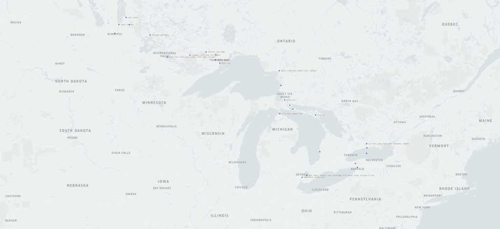
The map above shows the locations of his travels and the animals he recorded seeing. This is particularly useful in tracking the timing and extent of impact of invasive species on native species in the Great Lakes, particularly the four above Niagara Falls. The Falls served as a barrier for invasive species, but the Erie Canal offered one entry point for invasive species above the falls, then the creation of the Welland Canal, which could take some ships up and around the falls offered another. Both were opened at the time Jacobs took this journey. At this point, native species of trout, whitefish, and sturgeon remain numerous.
After going through Flint’s narrative, I decided, at least for the moment, it was not worth mapping as his observations dealt mostly with increased manufacturing in cities through which he traveled. This could make a possibly interesting project, but it doesn’t fit the needs of this experiment. I slowly move on.
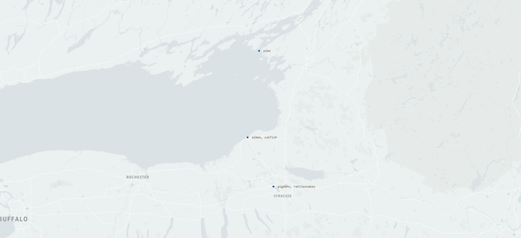
You cannot study Indigenous history in Iroquoia without dealing with the Jesuit Relations. There are problems, many problems. So a new problem exposed itself to me as I wanted to create maps. That problem is the use of place names. There was no standard spelling in the 17th century, plus, I am dealing with a translation, plus names have changed. Many times, there was no name used, you just had to figure it out “the river that feeds Gannentaa” is the Oswego River. Gannentaa is now called Onondaga Lake. That was the easy part. I believe these sources are going to be key in creating a larger environmental understanding of this region, but it is going to take time. Luckily, I’m used to going slow.
I can say the same thing for Bartram’s journal. He travels by land and water, and it can be quite difficult to figure out exactly where he is.
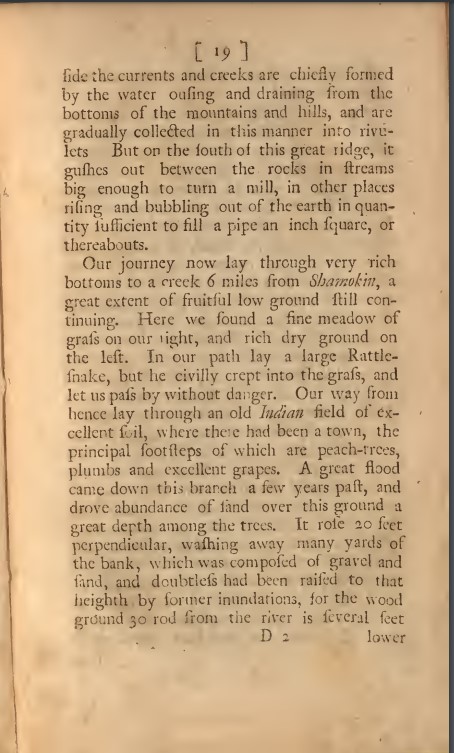
First, the modern city of Shamokin, PA is not where the original Indian village of Shamokin was located. The Shamokin to which Bartram refers, is actually Sunbury, PA. Mostly he is traveling up the east branch of the Susquehannah River, but where he is along the river is difficult to say. I thought I had him tracked, but then he was suddenly in Onondaga, and if he followed the path I thought, well, he would have had to fly to get to Onondaga so quickly. This will take some time and thought about how best to use such sources and the questions I want to ask of them. A slow process, but I will get there.